San Mateo, California

Laurelwood.

San Mateo's hillside retreat, where streets climb toward Sugarloaf Mountain's trails and bay views reward the ascent.

The neighborhood

The hillside retreat

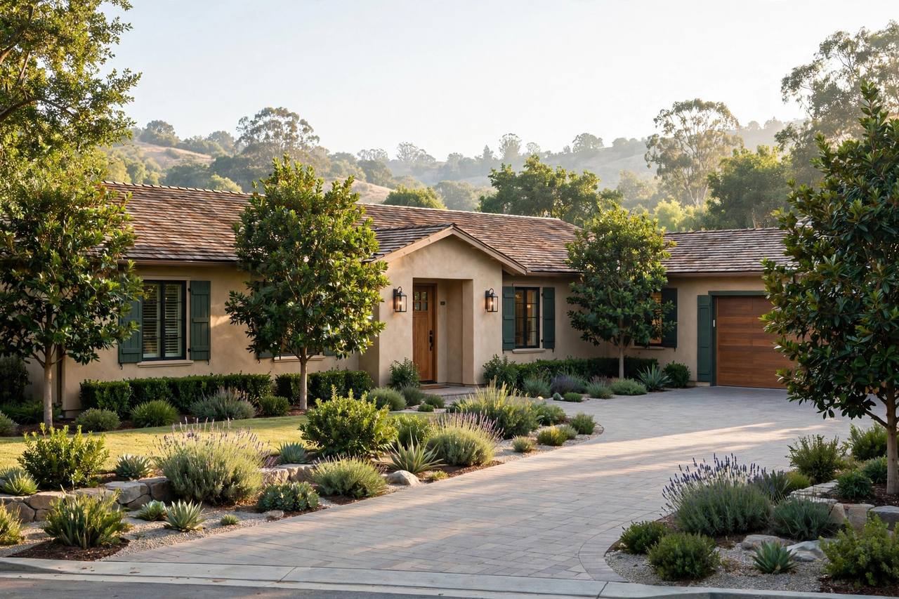
Laurelwood occupies San Mateo's western hills: winding streets, larger lots and homes with views, all beneath the Sugarloaf Mountain trailhead. It is the city's escape-within-the-city — deer in the yard, trails at the street's end, downtown minutes below.

Buyers prize the views, the space and the top San Mateo schools. The neighborhood attracts nature lovers who still want the city's dining and Caltrain within reach.

Hillside views bay panoramas
Sugarloaf trails trailhead at the street's end
Top schools San Mateo districts

At a glance: Laurelwood

Laurelwood is San Mateo's western hillside neighborhood of view homes near Sugarloaf Mountain, with top schools and trailhead living.

A sense of place

Why Laurelwood endures

Views and trails within San Mateo are irreplaceable. Laurelwood's hillside position keeps it quietly coveted.

Elevated homes Views and larger lots.
Trail access Sugarloaf Mountain nearby.
Natural setting Deer, owls and quiet.

01 / Education

Schools near Laurelwood homes.

Public school placement is determined by the local districts and can change. Confirm the exact property address directly with the district before relying on an assignment.

Top-rated school near Laurelwood, San Mateo
District resources

Schools serving Laurelwood

Laurelwood is served by the San Mateo-Foster City School District and San Mateo Union High School District. Verify by exact address.

San Mateo-Foster City School District

K-8 district serving San Mateo; verify assignment by address.

San Mateo Union High School District

Aragon, Hillsdale, San Mateo High and more.

College of San Mateo

Community college with bay-view campus.

City of San Mateo

Libraries, recreation and community services.
02 / Parks

Parks near San Mateo homes.

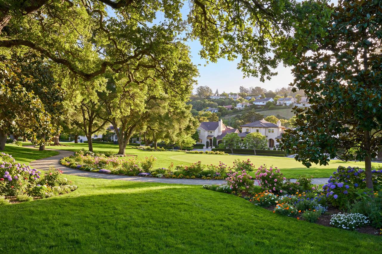
San Mateo pairs a vibrant downtown with an exceptional park system, from the Japanese Garden to bayfront shores.

Sugarloaf Mountain trails, San Mateo
01

Central Park

Downtown's 16-acre green with the Japanese Garden, tennis and playgrounds.

Official site
02

Coyote Point Recreation Area

Bayfront park with beaches, marina and the CuriOdyssey museum.

03

Sawyer Camp Trail

The beloved 6-mile lakeside trail along Crystal Springs.

Park hours and facility access can change seasonally. Check the official pages before visiting.

Nearby outdoors

Trails around San Mateo.

Lakeside paths, bayfront trails and foothill ridges give San Mateo outdoor options in every direction.

01

Sawyer Camp Trail

6 miles along Crystal Springs Reservoir, made for weekend rides.

02

Coyote Point Bay Trail

Bayfront paths with skyline and shoreline views.

03

Sugarloaf Mountain

Laurelwood's trailhead to panoramic bay views.

Trail conditions, seasonal closures and access rules can change. Check the linked official resources before heading out.

03 / Local life

Everyday life in Laurelwood

Sugarloaf's trails are the daily amenity; downtown San Mateo covers dining below.

Hillside view home in Laurelwood, San Mateo
The Laurelwood view
Modern hillside home in Laurelwood, San Mateo
Trails at the street's end
01

Sugarloaf Mountain

Trailhead to panoramic bay views.

02

Downtown San Mateo

Dining minutes below.

03

Sawyer Camp Trail

Lakeside trail nearby.

Map & getting around

Getting around Laurelwood.

Laurelwood sits in western San Mateo's hills, with Alameda de las Pulgas, 92 and nearby 280 as the main routes.

10 min

Downtown San Mateo

10 min drive · San Mateo area

Directions
10 min

San Mateo Caltrain

10 min drive · San Mateo area

Directions
18 min

SFO Airport

18 min drive · San Mateo area

Directions
20 min

Stanford University

20 min drive · San Mateo area

Directions
18 min

Meta, Menlo Park

18 min drive · San Mateo area

Directions
28 min

San Francisco

28 min drive · San Mateo area

Directions
30 min

San Jose Airport

30 min drive · San Mateo area

Directions
Drive times are approximate and vary with traffic. Tap Directions for live routing.

Market snapshot

Home values in Laurelwood.

Laurelwood trades on views and nature: citywide the median is about $1.85M, and hillside view homes command strong premiums.

$141K

Median household income

Citywide approx. · U.S. Census data

$1.85M

Median home price

Citywide approx. · Realtor.com, Sept 2026

$2.7M+

High-end price point

Citywide approx. · recent luxury-tier sales

Figures are approximate as of Sept 2026. Sources: U.S. Census Bureau, Realtor.com market data.

Buyer guidance

Buying a home in Laurelwood?

Buyers: evaluate views, slope and fire considerations. We diligence thoroughly on hillside homes.

Sellers: views sell on photography. We shoot at golden hour and market the panorama.

Seller guidance

Selling your Laurelwood home?

Buyers: compare hillside versus flatland. We help you weigh views against convenience.

Sellers: your buyer wants nature with access. We tailor the story accordingly.

Buyer & seller questions

Laurelwood real estate FAQ.

What is Laurelwood known for?

Laurelwood is known for hillside view homes, Sugarloaf Mountain trails and a natural setting in western San Mateo.

Which schools serve Laurelwood?

The San Mateo-Foster City and San Mateo Union High School Districts. Verify by exact address.

How much do homes cost in Laurelwood?

San Mateo's citywide median is about $1.85M. Laurelwood's view homes command strong premiums.

What is Sugarloaf Mountain?

A San Mateo park with trails climbing to panoramic bay views, at Laurelwood's edge.

How is the commute from Laurelwood?

Alameda de las Pulgas, Highway 92 and nearby 280 connect to the Peninsula.

Continue exploring

Explore more San Mateo neighborhoods.

Local guidance

Explore Laurelwood with Simon Sahi.

Tour Laurelwood's hillside homes with a local expert. Call or email to begin.